Search
Documents
Research Photos
Research Videos
About
Mission
History
Awards
Board Of Directors
Honorary Board
Advisory Board
Staff
Financial Information
Logos
Contact Us
Our Work
Wastewater & Recycling
Homeless Camps
Interactive Maps
Summerland Oil
Pollution
Sea Level Rise
Septic Systems
Groundwater
Beached Boats
Santa Barbara Resource Guide
Community
Artists on Environment
Events
Photos
Videos
Supporters
Volunteer
Programs
Join Our Team
Donate
News
Blog
Newsletters
E-Letters
Publications
Store
Donate

Heal The Ocean

Search
Documents
Research Photos
Research Videos
About
Mission
History
Awards
Board Of Directors
Honorary Board
Advisory Board
Staff
Financial Information
Logos
Contact Us
Our Work
Wastewater & Recycling
Homeless Camps
Interactive Maps
Summerland Oil
Pollution
Sea Level Rise
Septic Systems
Groundwater
Beached Boats
Santa Barbara Resource Guide
Community
Artists on Environment
Events
Photos
Videos
Supporters
Volunteer
Programs
Join Our Team
Donate
News
Blog
Newsletters
E-Letters
Publications
Store
Donate
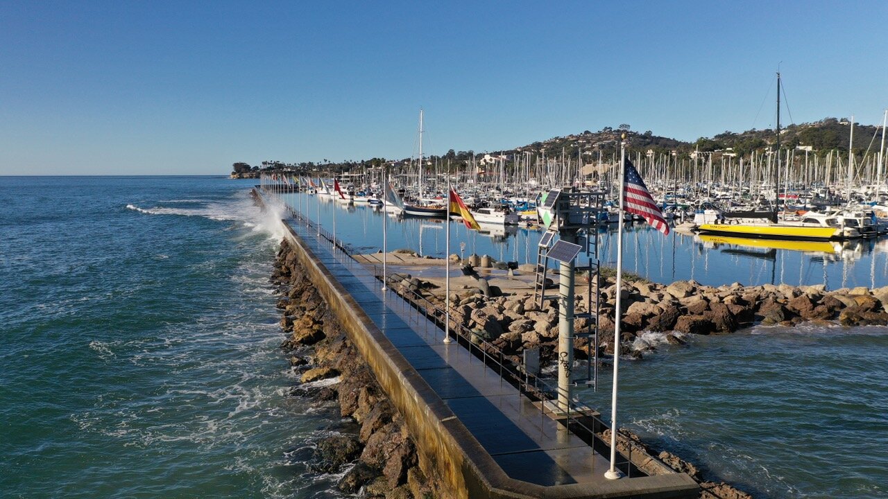
Santa Barbara Harbor

Santa Barbara Harbor

Harry Rabin/On the Wave Productions 2020
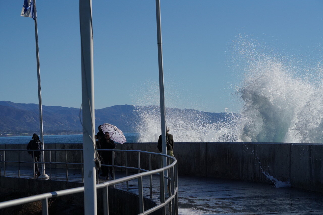
Waves Crashing

Waves Crashing

Harry Rabin/On the Wave Productions 2020
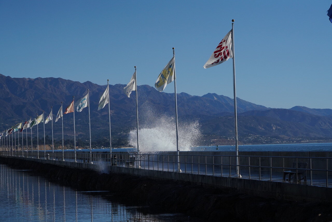
Waves Crashing

Waves Crashing

Harry Rabin/On the Wave Productions 2020
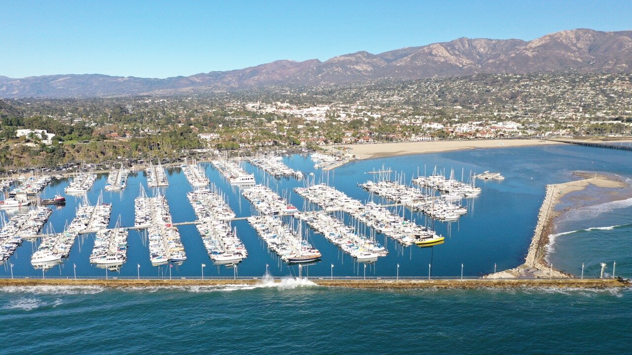
Santa Barbara Harbor

Santa Barbara Harbor

Harry Rabin/On the Wave Productions 2020

Santa Barbara Harbor

Santa Barbara Harbor

Harry Rabin/On the Wave Productions 2020
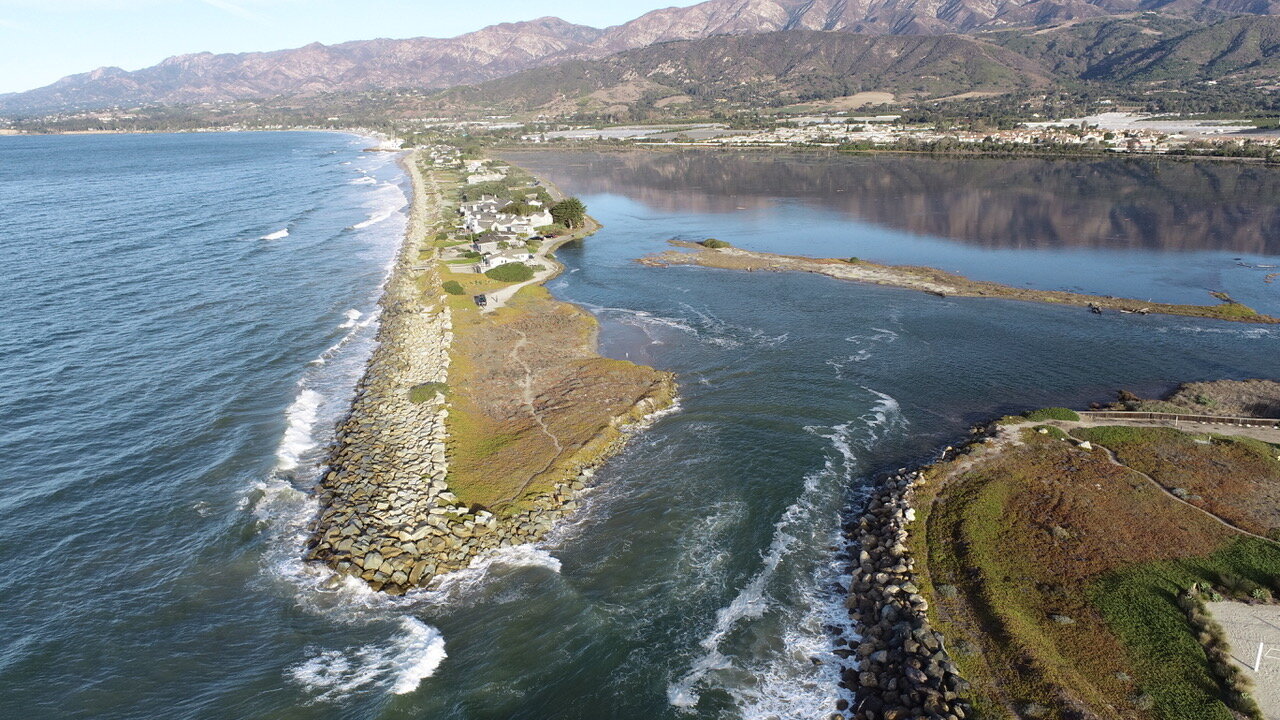
Salt Marsh

Salt Marsh

Harry Rabin/On the Wave Productions 2020
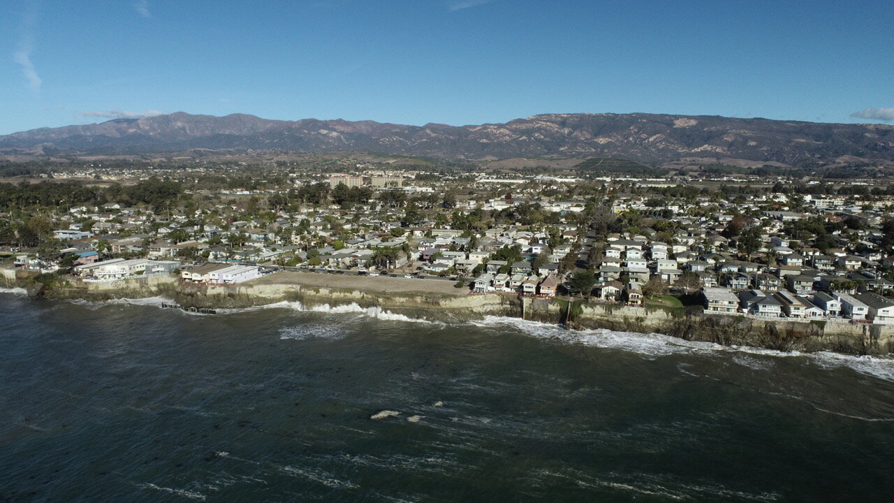
Isla Vista Coastline

Isla Vista Coastline

Harry Rabin/On the Wave Productions 2020

Miramar Coast

Miramar Coast

Harry Rabin/On the Wave Productions

Miramar Coast

Miramar Coast

Harry Rabin/On the Wave Productions 2020

unnamed+(3).jpg
Isla Vista

Isla Vista

Harry Rabin/On the Wave Productions 2020

Miramar Houses Hit by Waves

Miramar Houses Hit by Waves

Branden Aroyan 2019

Miramar

Miramar

Branden Aroyan 2018 & 2019

Sandyland/Sand Point during King Tide event

Sandyland/Sand Point during King Tide event

Image by Branden Aroyan 2019
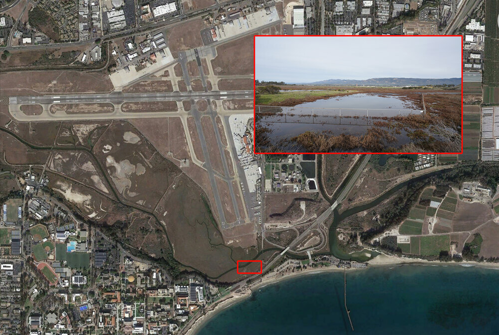
Goleta Slough/Airport during King Tide event

Goleta Slough/Airport during King Tide event

Image by Harry Rabin/ On the Wave Productions 2019
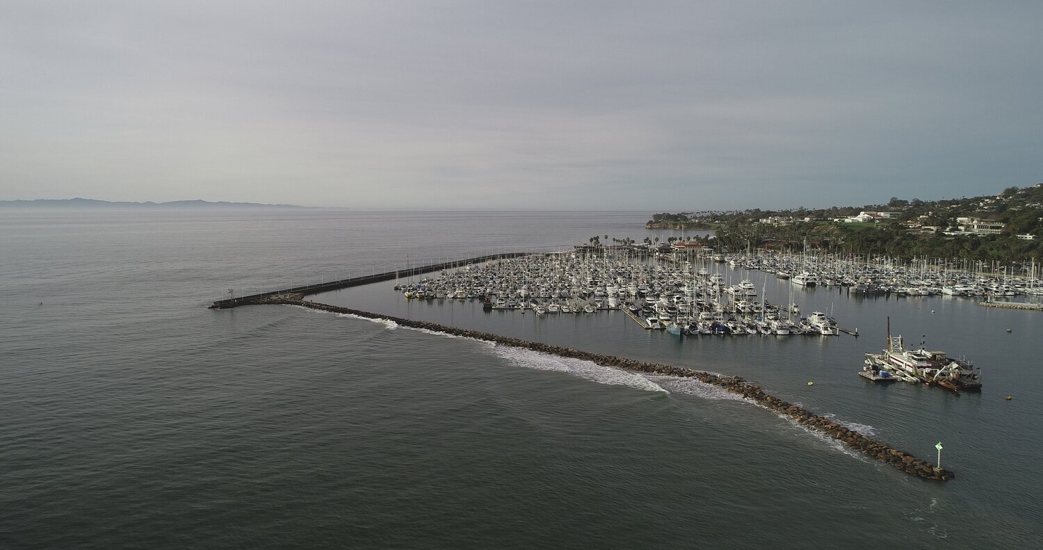
Santa Barbara Harbor Euring King Tide Event

Santa Barbara Harbor Euring King Tide Event

Image by Harry Rabin/ On the Wave Productions 2019
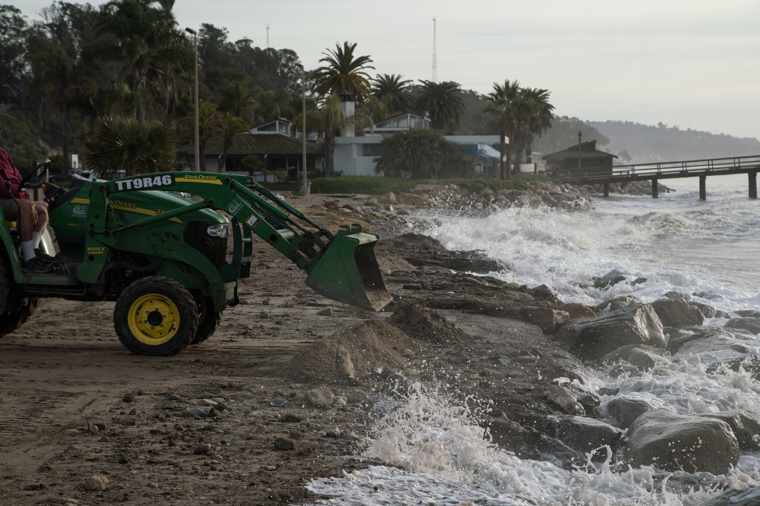
Goleta Beach Tractor

Goleta Beach Tractor

Branden Aroyan 2019

Goleta Beach Wave Crash

Goleta Beach Wave Crash

Branden Aroyan 2019
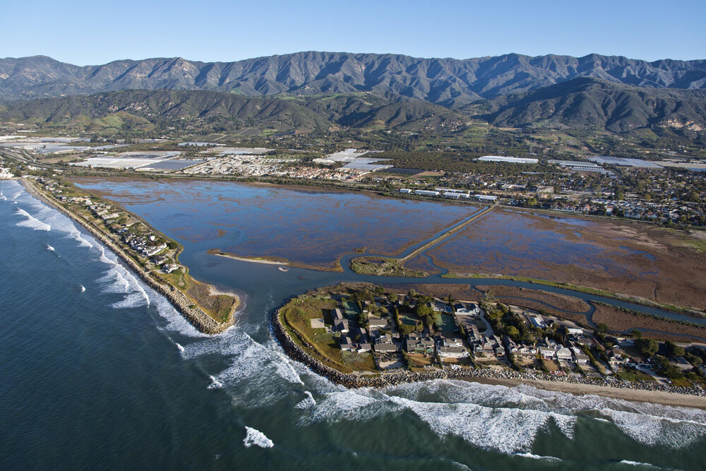
Sandy land and Sand Point

Sandy land and Sand Point

Bill Dewey 2014

Isla Vista Coast

Isla Vista Coast

Bill Dewey 2014

UCSB Campus Point

UCSB Campus Point

Bill Dewey 2014

Predictive coastal flooding in Downtown Santa Barbara (including SB Harbor) due to SLR in 2100

Predictive coastal flooding in Downtown Santa Barbara (including SB Harbor) due to SLR in 2100

Our Coast Our Future

Predictive coastal flooding in Goleta Slough due to SLR in 2100

Predictive coastal flooding in Goleta Slough due to SLR in 2100

Our Coast Our Future
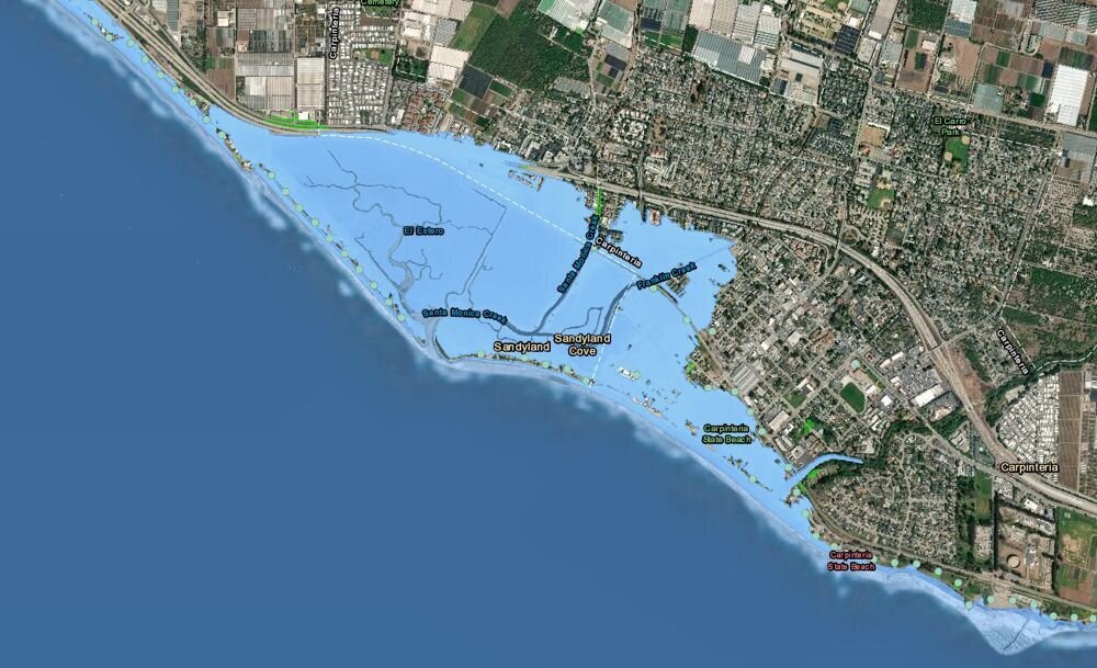
Predictive coastal flooding in Carpinteria (including Sandyland/Sand Point) due to SLR in 2100

Predictive coastal flooding in Carpinteria (including Sandyland/Sand Point) due to SLR in 2100

Our Coast Our Future
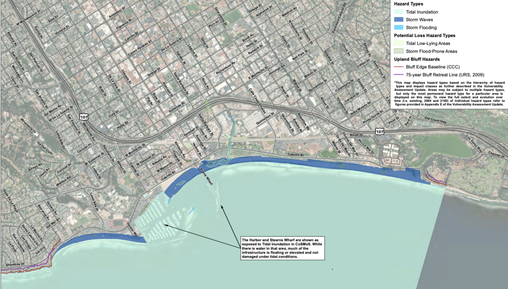
Existing Conditions Hazards (East)

Existing Conditions Hazards (East)

USGS/ESA 2018

Existing Conditions Hazards (West)

Existing Conditions Hazards (West)

USGS/ESA 2018

2030 Prediction: Hazards with 0.8 Feet of Sea-Level Rise (±2030) (East)

2030 Prediction: Hazards with 0.8 Feet of Sea-Level Rise (±2030) (East)

USGS/ESA 2018

2030 Prediction: Hazards with 0.8 Feet of Sea-Level Rise (±2030) (West)

2030 Prediction: Hazards with 0.8 Feet of Sea-Level Rise (±2030) (West)

USGS/ESA 2018
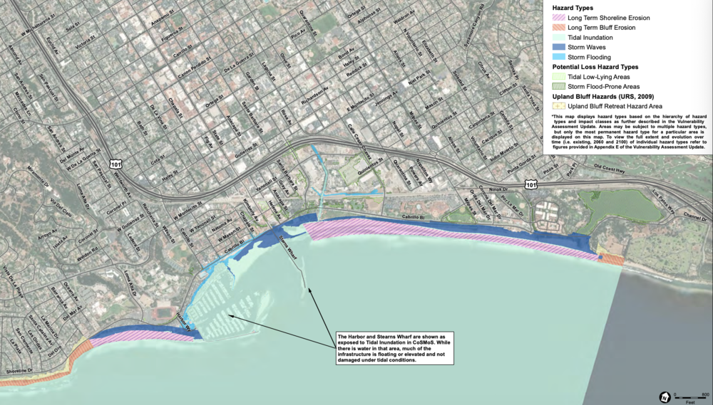
2060 Prediction: Hazards with 2.5 Feet of Sea-Level Rise (±2060) (East)

2060 Prediction: Hazards with 2.5 Feet of Sea-Level Rise (±2060) (East)

USGS/ESA 2018

2060 Prediction: Hazards with 2.5 Feet of Sea-Level Rise (±2060) (East)

2060 Prediction: Hazards with 2.5 Feet of Sea-Level Rise (±2060) (East)

USGS/ESA 2018

2100 Prediction: Hazards with 6.6 Feet of Sea-Level Rise (±2100) (East)

2100 Prediction: Hazards with 6.6 Feet of Sea-Level Rise (±2100) (East)

USGS/ESA 2018

2100 Prediction: Hazards with 6.6 Feet of Sea-Level Rise (±2100) (West)

2100 Prediction: Hazards with 6.6 Feet of Sea-Level Rise (±2100) (West)

USGS/ESA 2018

1 2 3 4 5 6 7 8 9 10 11 12 13 14 15 16 17 18 19 20 21 22 23 24 25 26 27 28 29 30 31 32
Previous Next
Santa Barbara Harbor
Waves Crashing
Waves Crashing
Santa Barbara Harbor
Salt Marsh
Isla Vista Coastline
Miramar Coast
Miramar Coast
unnamed+(3).jpg
Isla Vista
Miramar Houses Hit by Waves
Miramar
Sandyland/Sand Point during King Tide event
Goleta Slough/Airport during King Tide event
Santa Barbara Harbor Euring King Tide Event
Goleta Beach Tractor
Goleta Beach Wave Crash
Sandy land and Sand Point
Isla Vista Coast
UCSB Campus Point
Predictive coastal flooding in Downtown Santa Barbara (including SB Harbor) due to SLR in 2100
Predictive coastal flooding in Goleta Slough due to SLR in 2100
Predictive coastal flooding in Carpinteria (including Sandyland/Sand Point) due to SLR in 2100
Existing Conditions Hazards (East)
Existing Conditions Hazards (West)
2030 Prediction: Hazards with 0.8 Feet of Sea-Level Rise (±2030) (East)
2030 Prediction: Hazards with 0.8 Feet of Sea-Level Rise (±2030) (West)
2060 Prediction: Hazards with 2.5 Feet of Sea-Level Rise (±2060) (East)
2100 Prediction: Hazards with 6.6 Feet of Sea-Level Rise (±2100) (East)
2100 Prediction: Hazards with 6.6 Feet of Sea-Level Rise (±2100) (West)
Back to Top
About
Research Library
E-Letters
Blog
Contact Us
Shop
Donate
1430 Chapala Street, Santa Barbara, CA 93101, USA(805) 965-7570info@healtheocean.org

Sign Up to Receive the Latest HTO News

Thank you!